
FlightAware Tracking
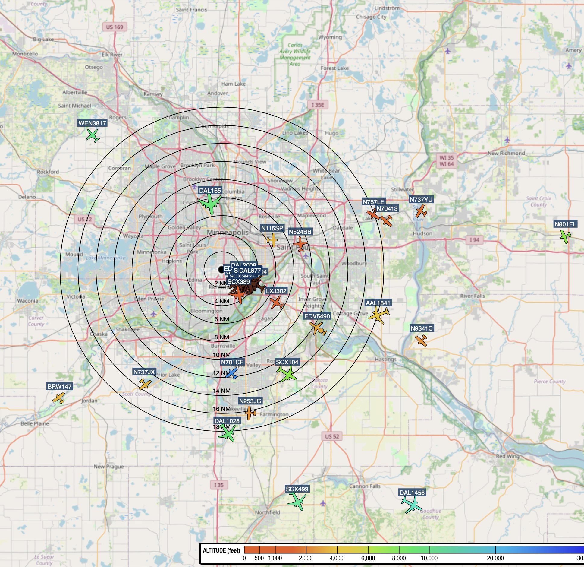
I use a Raspberry Pi 4 running PiAware to receive ADS-B transmissions from aircraft in the area and feed that data to FlightAware. It provides a real-time view of traffic approaching and departing Minneapolis–Saint Paul International Airport, especially from my location beneath runway 12R approach, or 30L on takeoff (usually when the wind comes from the Northwest).
The most common military planes are C-130 transports (VIKING and GOPHER). Some federal planes do not use ADSB identifiers. State Patrol planes and helicopters commonly originate from Holman Field in St. Paul (a good place for bloody marys and old fashioneds). Both airline designation and type of aircraft are usually indicated. Consequently, you can tell precisely when a friend or relative is landing, or when your area is getting a lot of flyovers.
Public access to the tracker is here